Internet Connectivity And Communication Services For Incident Response
During critical events such as wildfires, hurricanes, earthquakes, and floods, traditional networks frequently become unreliable or completely inoperable. This creates severe communication gaps, directly impeding situational awareness and tactical coordination for all-hazards emergency responders. The inability to effectively track personnel and assets, maintain crucial communications, and share vital data at the operational edge substantially hinders mitigation efforts, prolonging incidents and escalating risks to both lives and property. LBiSat's solutions are engineered to bridge these critical gaps, ensuring seamless connectivity when it matters most.
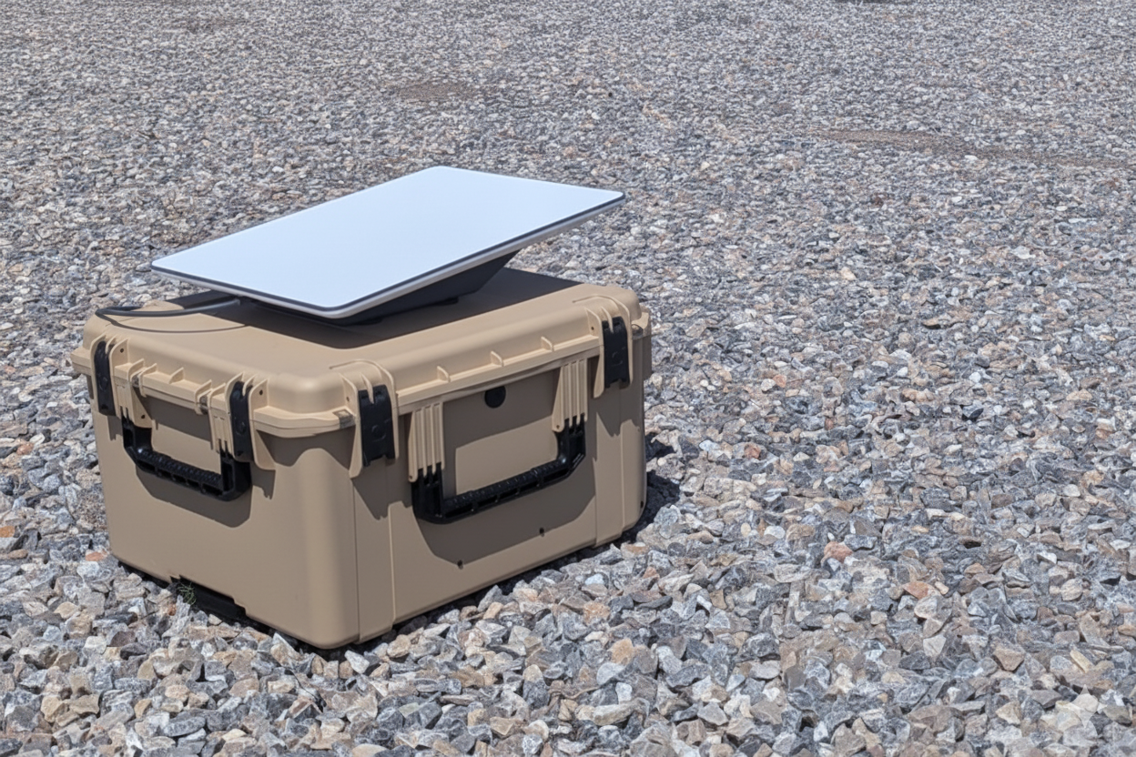
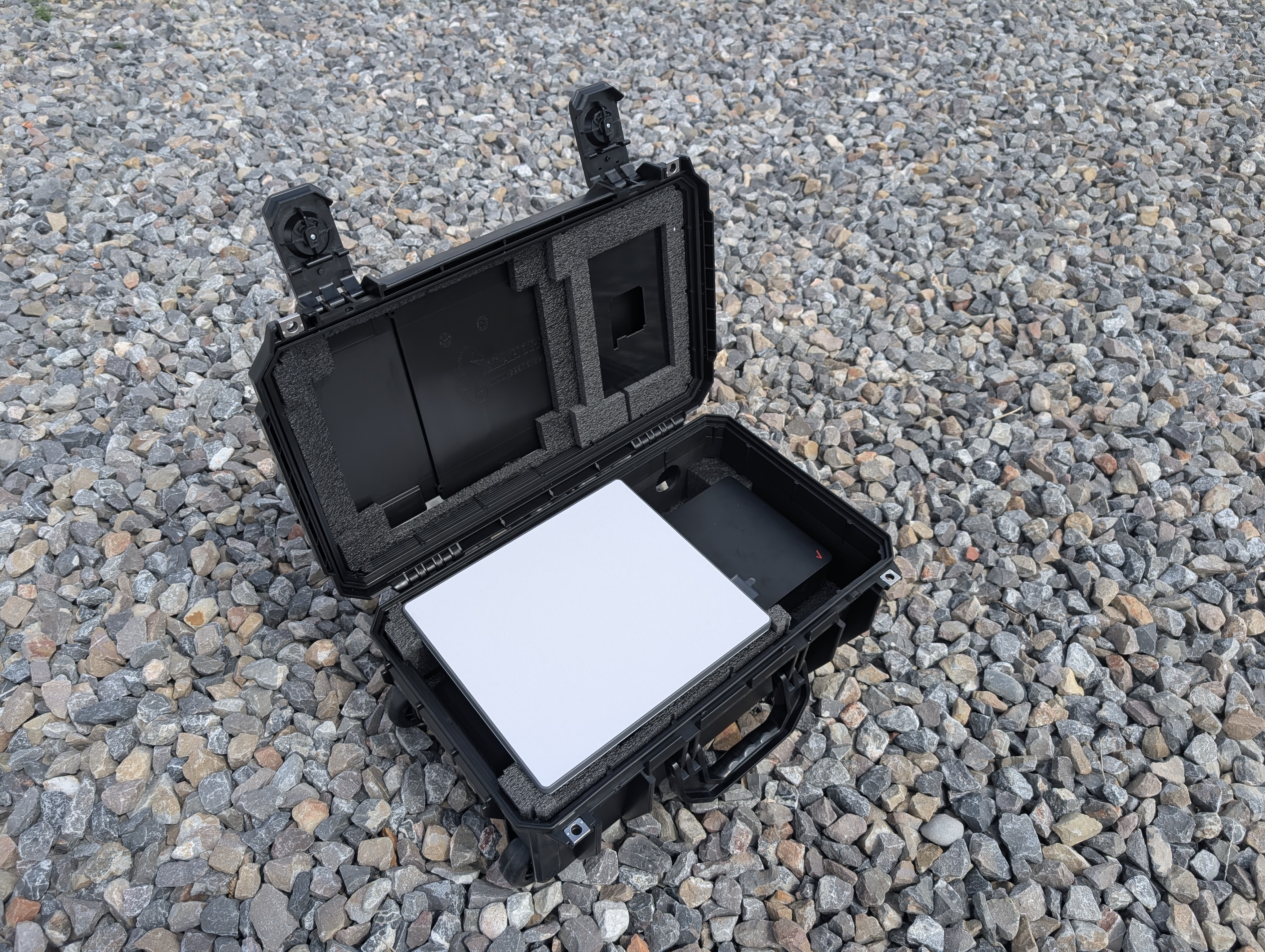
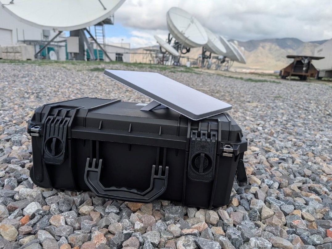
PORTABLE STARLINK COMMUNICATIONS CASE
• Portable Starlink with case
• For inidividual camp or mobile use
• Vehicle mounts with 12V adapters
• Starlink Mini, Standard, and Performance antennas are available
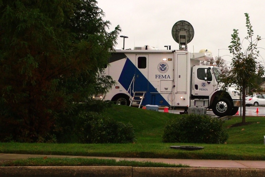
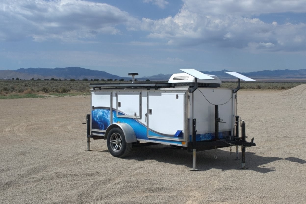
MANNED STARLINK INTERNET TRAILER
• Suggested use - ICP, medium to large spike camps, or FOB
• Includes up to 10 Starlink antenna solutions
• Full-time technician on-site
PORTABLE CELL TOWERS (PERSONAL/GROUP)
• Starlink Mini powered cellular network extenders
• Scalable use for personal or large team applications
• Available for Verizon and AT&T FirstNet
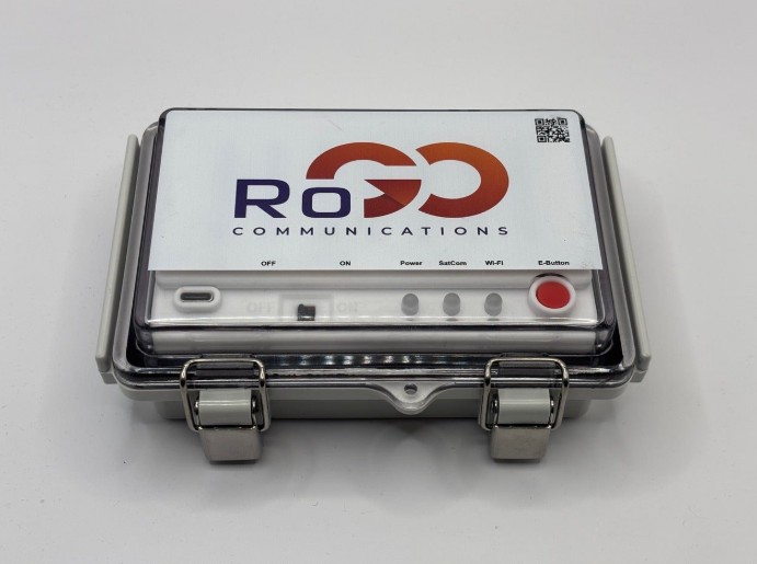
LBiSat & RoGO Communications Partnership
LBiSat and RoGO Communications are partnering to provide GPS tracking and remote connectivity for first responders. The partnership integrates RoGO’s DropBlock GPS tracking with LBiSat’s satellite communication services. This collaboration is designed to create a common operational picture for emergency response, especially in remote areas where cellular networks are unavailable or unreliable.
The DropBlock system can be immediately deployed to provide GPS location data for firefighters and other resources. The new DropBlock 2.0 are smaller and lighter, making them easier for wildland firefighters to carry into remote wilderness areas. The technology also shares hyper-local weather information, including wind speed, direction, temperature, and humidity. This technology will help direct resources faster and with better accuracy to the crews on the ground.